erosion
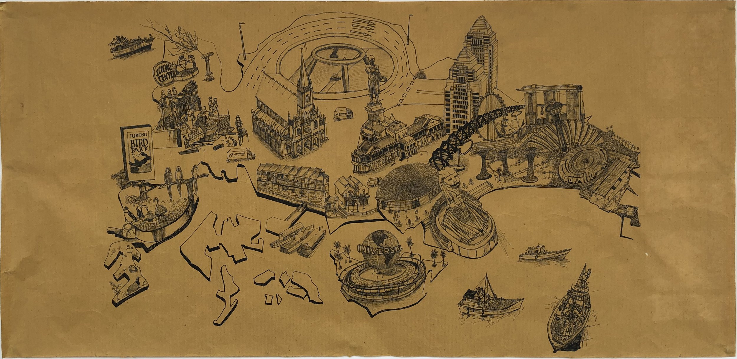
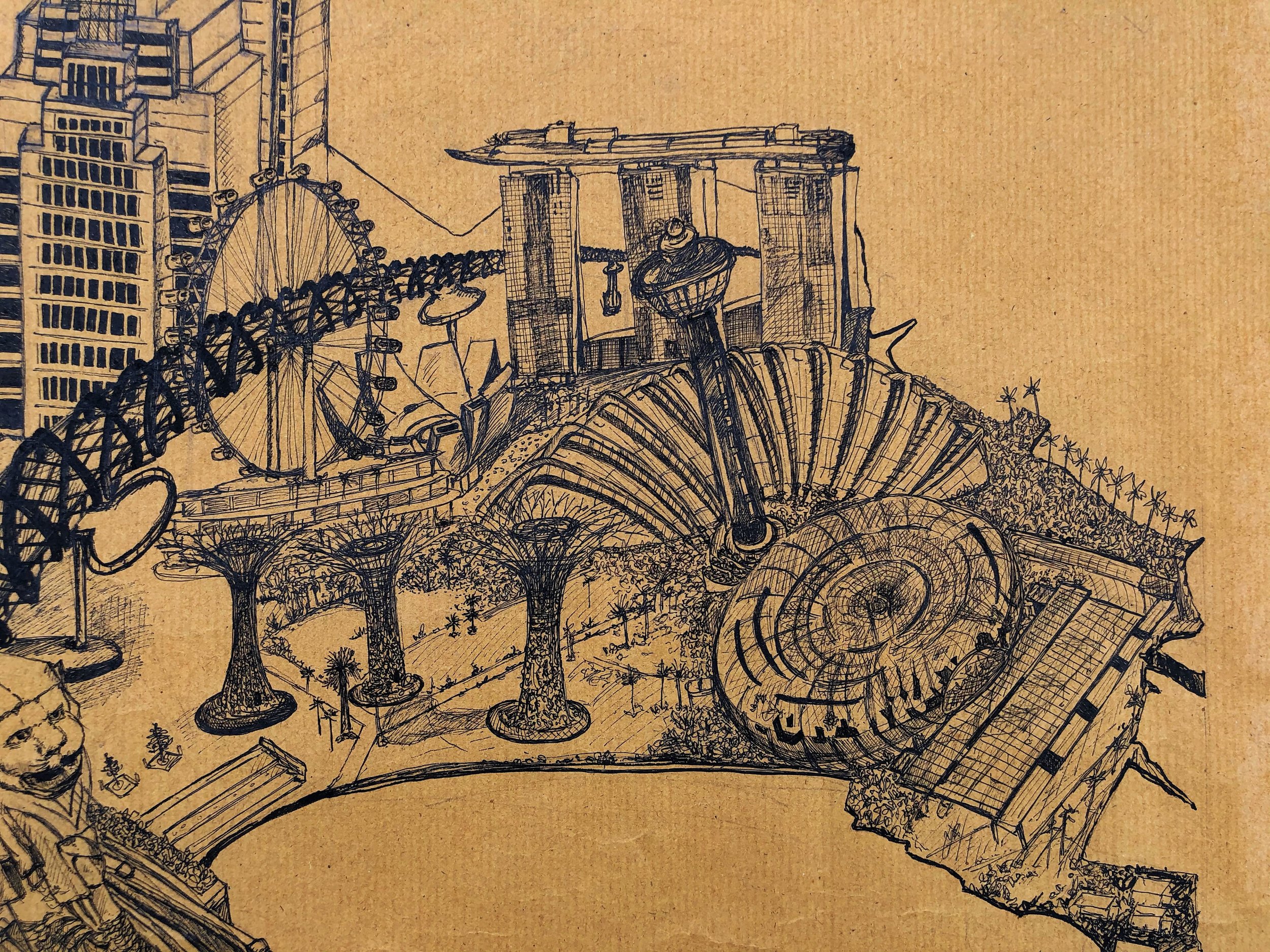
120 x 58cm (map 1), 107.8 x 64 cm (map 2)
Pen Ink, Parchment Paper, Old History Textbooks
The first map is an illustration of landmarks that appear when ‘Singapore’ is Googled, reflecting the world’s impression of her as a developed, modernized state. However, the second map, a paper cut made from repurposed Singapore history textbooks, reveals how the history and culture that connects the people has been eroded for development. In this map, developed areas of land have been cut out, leaving behind a frail skeleton of roads. Thus, by juxtaposing both maps, the audience is encouraged to weigh the costs and benefits of Singapore’s development.